*Postcard Recipients - see the Unique Natural Area Update Map Guide for user help*
Tompkins County Unique Natural Areas (UNAs)
The Unique Natural Areas (UNA) inventory identifies areas in the county that contain special natural or cultural features. It is an information tool intended to help landowners, municipal governments, and planning boards make the wisest choices possible in balancing development with protection of the rural character and natural beauty of Tompkins County.
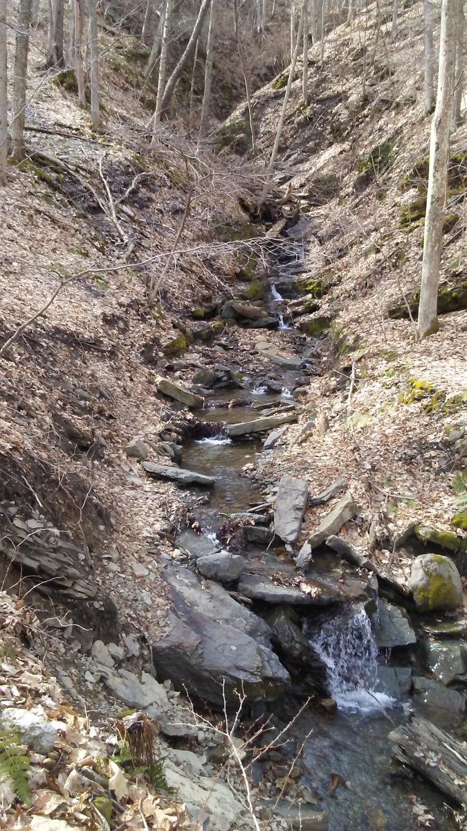
Tompkins County is a very special place to the over 100,000 people who live here, as well as countless others who spend time in the Finger Lakes region. It provides a diverse and attractive environment for residents to live and work in, and is blessed with some of the region’s most spectacular scenery. From the shores of Cayuga Lake to the gorges, waterfalls, fields, and forests of the area, the natural beauty of Ithaca and the surrounding towns continues to draw people.
As growth and development continue, more of the open space in the county is likely to be changed. Economic development is compatible with environmental awareness if it proceeds with complete information about the biological and physical features of a site and an understanding of potential environmental impacts.
What a UNA is...
A Unique Natural Area is a part of the landscape that has outstanding geological and environmental qualities, such as special natural communities, or plants and animals that are rare or scarce elsewhere in the county or region.

The UNA inventory was started in 1973. It was greatly expanded and updated in 1990, then revised in 2000, and during the periods of 2010-2016 and 2019-2023. There are 195 UNAs currently within Tompkins County. These sites were included in the inventory based on the work of ecologists, botanists, animal scientists, geologists, and wetland specialists. Sites with public access were surveyed on foot, as were private sites only when access was granted by permission of the owner. Other parcels were evaluated from the road, adjacent parcels, or by using topographic maps and aerial photography.
Each UNA exhibits one or more of these characteristics:
• Supports important natural communities (state-designated wetlands, old forests, diverse plant and animal populations)
• Provides quality of example (best representatives of natural communities or resources in the county)
• Includes rare or scarce plants or animals (identified at the global, state, or local level)
• Has geological importance (unique formation or paleontological site)
• Offers cultural significance (outstanding scenic beauty, recreational values, historic or archeological significance).
What a UNA is not...
A UNA is not a regulatory designation, and it does not provide legal protection for an area. Instead, it provides an alert to municipal and County planning and decision-making processes that resources exist that may require modification of proposed activities.
What's in the UNA Inventory?
• Location of each UNA (municipality, latitude and longitude, USGS topographic quad and tax parcels)
• Map of the UNA
• Site and vegetation descriptions (general characteristics)
• Reasons for selection (Why is this a UNA?)
• Special land-use information (land-use or legal designations, water resources information)
• Conservation information (adjacent land use, sensitivity of site to visitors, evidence of disturbance, management)
• Physical characteristics of each site (slope, elevation, soil types, geological features)
• Biological characteristics (ecological communities, plant and animal species present)
How do people use the UNA Inventory?
The UNA Inventory has three main purposes:
• To identify and describe areas in the county with outstanding environmental qualities
• To promote the conservation and/or preservation of UNAs for the benefit of future generations
• To help people make informed choices about development in or near these areas
The site plan decisions of municipal boards are guided by many issues, including soils, drainage, Department of Environmental Conservation wetland designation, slope of a site, access to roads and other structures, proximity to flood plains, etc. The UNA Inventory provides information on each of these issues to aid responsible decision-making. The report is also tailored to help people prepare State Environmental Quality Review (SEQR) forms.
How do landowners use the UNA Inventory?
The information in the UNA Inventory can alert landowners to the special values of their property, and help prevent them from inadvertently or unknowingly disturbing an ecologically sensitive part of their property, or adversely affecting an interesting plant or animal.
UNA designations do not change the nature of private property. Public access to privately held land is entirely up to the individual landowner, and landowners have every right to post their property and enforce no-trespassing laws.
On the other hand, some landowners may wish to share access to their UNA for the sake of public education. Always ask for landowner permission before visiting a UNA.
Historic UNA Information
Unique Natural Areas Map (pdf) (2024)
Unique Natural Areas of Tompkins County Brochure (pdf) (revised as of 2017)
Unique Natural Areas Inventory Slide Presentation (pdf ) (2024)
Landowners, local governments and agencies with questions or interest in additional information can contact the Planning Department at 607-274-5560.
OTHER EMC EDUCATIONAL MATERIALS
Wind Power
Draft Wind Power FAQ / Resolution Supporting Deployment of Wind Turbine Technologies in Tompkins County
露天焚燒
Open Burning of Household Waste - Frequently Asked Questions (pdf)(doc)(2005): A two-page flyer explaining the EMC's campaign to prevent open burning of household waste in Tompkins County.
Climate Protection
Community 10-year Greenhouse Gas Emissions Report(based on 2008 data)
County Government 10-year Greenhouse Gas Emissions Report(based on 2008 data)
Tompkins County Emissions Inventory (pdf)(2001): An inventory of greenhouse gas emission for the Tompkins County Community and County Government.
Invasive Species
Invasive Species List (pdf)(2009): a comprehensive list of the non-native plant species found in our region that are considered invasive.
And a 2008 list of the worst invasive plantsin Tompkins County.
For additional information, see also:
New York Invasive Species Clearinghouse. Cornell Cooperative Extension Invasive Species Program http://www.nyis.info
New York Invasive Species Research Institute. Cornell University http://nyisri.org
Offline Documents
The following documents are available in hard copy only at the Tompkins County Planning and Sustainability Department:
Land Protection Strategies for Environmentally Unique Sites (2001)
Framework for Long Range Environmental Planning in Tompkins County (1996): A framework to help the County and local municipalities plan for the long term protection and enhancement of their natural resources.
An Evaluation of Risks Associated with Underground Storage Tanks in Tompkins County (1991): A report evaluating the risks and regulations associated with underground storage tanks in Tompkins County.
The First Twenty Years: A History of the Tompkins County EMC 1971-1991 (1992): An overview of EMC accomplishments for the first twenty years.
EMC Library:To review documents in our library, please call (607) 274-5560, or email EMC. In addition to the documents listed above, the Library's subject index includes:
- Air quality
- 能源
- Education
- Environmental impact statements
- Hazardous Waste
- Planning (natural areas, open space, trails)
- Solid Waste
- 交通
- Miscellaneous
